- Basics/Related Info
- GOES-R 101
- GOES-R: Benefits of Next-Generation Environmental Monitoring
- GOES-R Fact Sheets
- Training By Subject
- Aerosols/Air Quality/Atmospheric Composition
- Aviation
- Climate
- Clouds
- Convection
- Fire
- General Satellite Meteorology
- Hydrology
- Imagery
- Instruments
- Lightning
- Space Weather
- Winds
- By Institute


GOES-R Series Training
Overview
The GOES-R Series Program is committed to providing extensive training for the operational and educational communities that addresses both end users’ and developers’ needs, bridging the gap between research and operations. Training focuses on the quantitative and qualitative use of GOES-R Series data and products, methods for interpreting the data, new features, capabilities and algorithms, and a better understanding of atmospheric sciences and mesoscale meteorology in relation to GOES-R Series satellites.
Training is developed and provided by a number of partners across the weather enterprise through the GOES-R Proving Ground, e-learning training modules, seminars, weather event simulations, and special case studies.
The GOES-R Series Program has also implemented the position of “satellite liaison” to work with forecasters to use the new data and capabilities available from GOES-R Series satellites. Satellite liaisons are stationed at most of the NOAA National Centers and the National Weather Service (NWS) Training Center. Satellite liaisons are tasked with running various product demonstrations within these testbed locations. They are essentially research-to-operations liaisons, improving upon training from the product developers to present to testbed participants, and providing participant feedback to the developers for further improvement.
Training Resources
For general information on the GOES-R Series mission, access the GOES-R 101 training module or the GOES-R: Benefits of Next-Generation Environmental Monitoring module.
Check out our Fact Sheets section for quick guides on GOES-R Series instruments, ground system and products.
International Training Requests
If you would like more information on GOES-R Series international training opportunities please complete the GOES-R international training request form. Requests will be honored depending on resources available. At a minimum, virtual material can be provided.
Training Resources by Institute
COMET
The Cooperative Program for Operational Meteorology, Education, and Training (COMET) supports, enhances, and stimulates the communication and application of scientific knowledge of the atmospheric and related sciences for the operational and educational communities. The COMET Distance Education Program training materials include web, CD-ROM, and teletraining methods, which serve Earth science education and training needs by providing interactive experiences for learners at a distance.
NWS OCLO (Office of Chief Learning Officer)
The NOAA National Weather Service Office of the Chief Learning Officer (OCLO) provides professional and technical training to enable NWS employees to reach optimum performance in present assignments and future responsibilities. Training methods include a mix of synchronous and asynchronous instruction in virtual and classroom environments.
SPORT
NASA’s Short-term Prediction Research and Transition Center (SPoRT) provides training about specific products, discussing the strengths and weaknesses, with the goal of successfully transitioning products to operations. This training is built from surveys and direct communication with our partners. With this paradigm, the forecasters are an integral component of the transition process and not a passive recipient of data.
VISIT
The Virtual Institute for Satellite Integration Training (VISIT) is a joint effort involving NOAA Cooperative Institutes, the National Environmental Satellite Data and Information Service (NESDIS), and the National Weather Service (NWS). The primary mission of VISIT is to accelerate the transfer of research results based on atmospheric remote sensing data into NWS operations using distance education techniques. Training sessions include topics on satellite meteorology, severe weather, climate, numerical weather prediction, and more. Many of these modules were developed in collaboration with the Cooperative Institute for Meteorological Satellite Studies (CIMSS) and the Cooperative Institute for Research in the Atmosphere (CIRA).
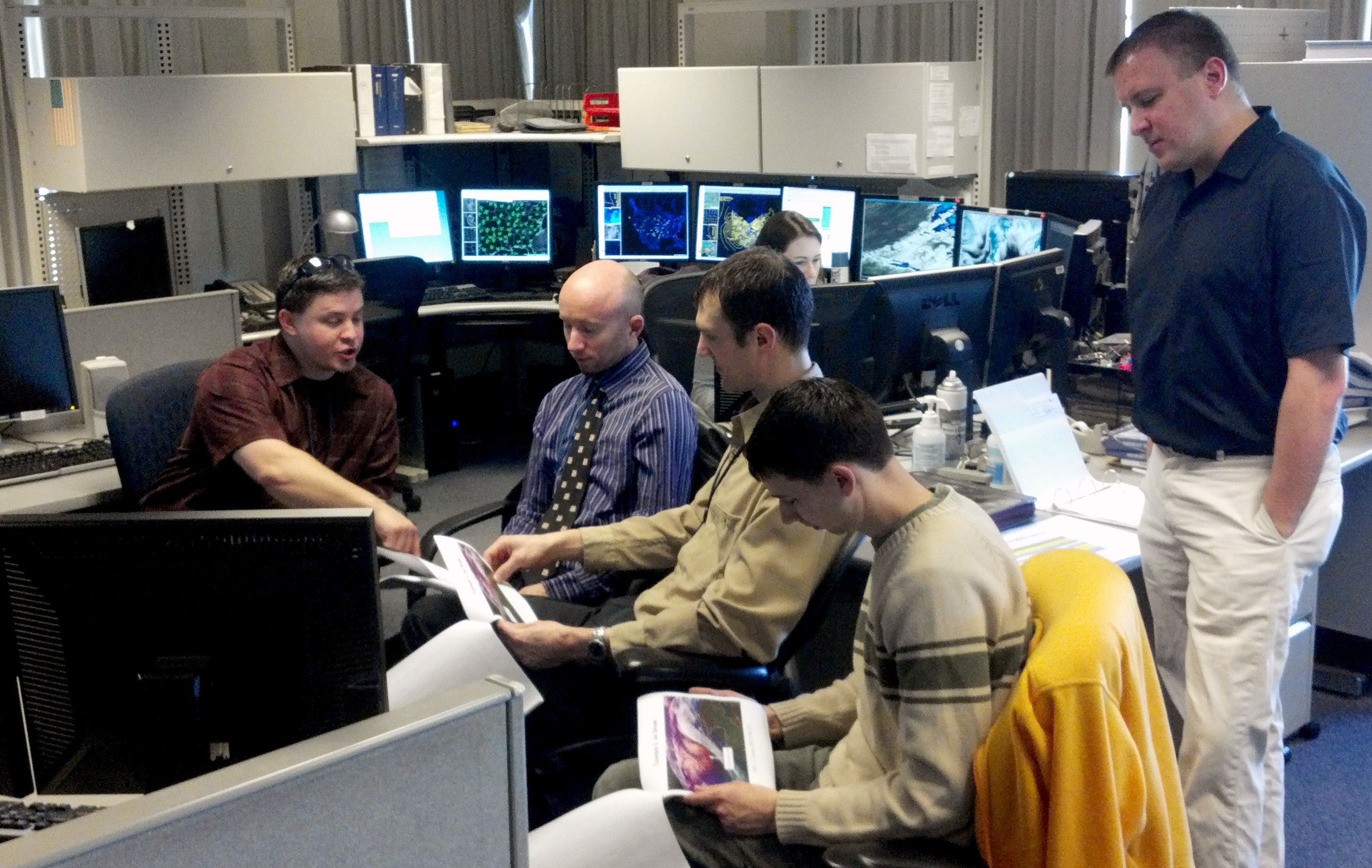
VLab
Established by the World Meteorological Organization (WMO) and the Coordination Group for Meteorological Satellites (CGMS), the Virtual Laboratory for Training and Education in Satellite Meteorology (VLab) is a global network of specialized training centers and meteorological satellite operators working together to improve the utilization of data and products from meteorological and environmental satellites.
In collaboration with:
CIMSS
As part of the UW-Madison Space Science and Engineering Center, CIMSS conducts cutting-edge research while fulfilling its three-part mission.

CIRA
CIRA is a cooperative institute that is also a research department within CSU's College of Engineering, in partnership with the Department of Atmospheric Science.
Training Resources by Topic
- Training By Subject
- Aerosols/Air Quality/Atmospheric Composition
- Aviation
- Climate
- Clouds
- Convection
- Fire
- General Satellite Meteorology
- Hydrology
- Imagery
- Instruments
- Lightning
- Space Weather
- Winds
Please note: Many of the training modules in this section are housed on external websites. The appearance of external links within the Training section of the GOES-R websites does not constitute endorsement by NASA, NOAA or the U.S. Department of Commerce (DOC) of external websites or the information, products or services contained therein. For other than authorized activities, NASA/NOAA/DOC does not exercise any editorial control over the information you may find at these locations.