GOES-16: A Game-Changer for Fighting Deadly Wildfires
December 18, 2018
GOES-16, operating as NOAA’s GOES East satellite, is proving to be an invaluable asset in detecting wildfires and helping forecasters provide proactive tactical decision-support services. The satellite’s main instrument, the Advanced Baseline Imager (ABI), offers three times more spectral channels, four times increased resolution, and five times faster coverage than the previous GOES imager. This means a much more detailed look at fire conditions, faster detection of hot spots, and the ability to track fire progression and spread in real time.
National Weather Service (NWS) incident meteorologists (IMETs) are using GOES-16 data to assist firefighting efforts. IMETs who deploy to wildfires are instrumental to the mission. An IMET's first priority is to keep firefighters and the public safe amid rapidly changing wildfire conditions. During the peak of the Camp Fire in northern California in November 2018, the fire was advancing at a rate of over 100 football fields every minute. A shift in the winds could easily put firefighters in danger.
Timely satellite imagery is critical, life-saving information in a dynamic fire environment. In the past, IMETs had a single low-resolution image that updated every 15 minutes – typically the image was already 20 minutes old when it arrived to the forecaster. Now, GOES-16 frequently detects fires before they are spotted on the ground – often 10 to 15 minutes before emergency notifications to 911.
Alex Hoon, the NWS IMET for both the Camp and Carr Fires in California in 2018, says GOES-16 is crucial to an IMET’s mission to protect lives and property. “Now, forecasters are able to get incredible high-resolution images of the fire every single minute in the field, directly supporting firefighters who are engaged in the fire. Not only is this helping firefighters to more effectively fight fire, but more importantly, it's helping to keep firefighters safe so that they can also come home to their families,” said Hoon.
GOES-16 is also used to pinpoint the exact location of a fire after reports of smoke. On July 2, 2018, the Pueblo County, Colorado, Emergency Management Office called the NWS Pueblo Weather Forecast Office (WFO) for assistance locating the source of smoke reported near Custer/Fremont/Pueblo County lines. GOES-16 showed a hotspot in northeast Custer County and the Pueblo WFO was able to provide the exact coordinates of what would become the Adobe Fire. Being in a remote and wooded area, the early and more precise geolocation of the fire was helpful for getting crews on the scene quickly.
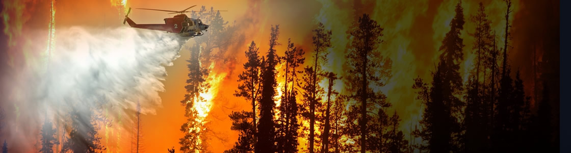
GOES-16 observations are not just valuable for detecting wildfires but are also critical to observing and monitoring smoke from those fires. GOES-16’s ability to monitor smoke plumes in near-real time is particularly useful in directing firefighting efforts from the air. Deploying airplanes and helicopters to spray fire retardant is often hampered due to poor visibility. GOES-16 can help guide decisions for deploying flights by providing information on the exact location and motion of smoke from a fire. The smoke detection and monitoring information also enable better air quality forecasts.
The benefits from GOES-16 aren’t just seen during a fire but are also important in monitoring burn scars and predicting flash flood events from rain events after a fire. GOES-16 provides critical data for the entire lifecycle of a fire disaster – from drought to fire to floods and landslides.
The new capabilities from GOES-16 are a game-changer for fire weather forecasts and warnings. Soon, GOES-16 will be joined by its twin satellite, GOES-17, as NOAA’s operational GOES West. GOES-17 will provide even better resolution for U.S. West Coast firefighting efforts than GOES-16 due to its location over the Pacific Ocean.
New channels on the ABI provide more information to forecasters and the high resolution and rapid scanning give them high-definition images as often as every minute. Data from the ABI is helping forecasters locate hotspots, detect changes in a fire’s behavior, predict a fire’s motion, and monitor the post-fire landscape like never before. Providing this information to firefighters, emergency managers, and state and county agencies helps NOAA’s Satellite and Information Service meet its mission of protecting the nation’s environment, security, economy and quality of life.