GOES-R DataJam coming October 2023!
The GOES-R DataJam is a two-week virtual competition for undergraduate and graduate students to showcase their best use of GOES-R Series data.
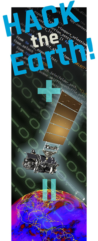
GOES-R Hackathon Inspires Innovative Solutions to Environmental Challenges
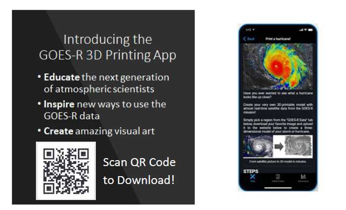
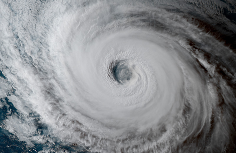
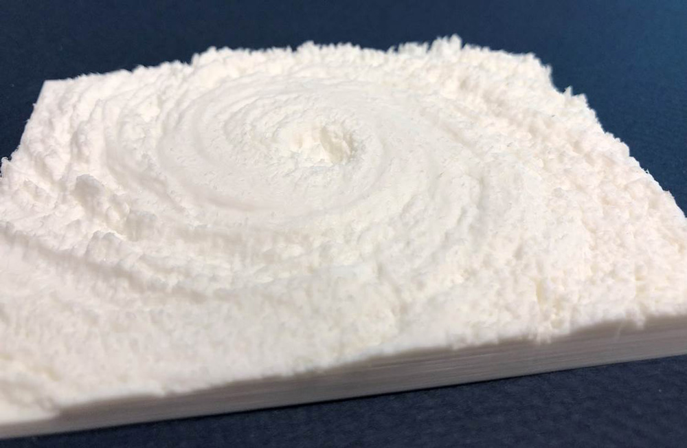
The GOES-R Program conducted its first-ever hackathon from Sept. 24-26, 2021. During this virtual event, teams of college students collaborated to develop interdisciplinary solutions to contemporary environmental issues using GOES-R Series satellite data. The teams had 48 hours to complete one of five challenges and submit a video presentation. A team of NOAA scientists judged the submissions on creativity and out-of-the-box innovative solutions, feasibility, and thoughtful use of GOES-R products and/or synthesis with external data sources. The first-place team developed an app to allow users to use GOES-R satellite data to 3D print images of storms, hurricanes and other natural phenomena.
Winning submission video
App tutorial video
3D print of hurricane
Click on image for larger picture
Click on image for larger picture
2021 GOES-R Hackathon
Promo video:
The GOES-R program invites you to watch this short video to learn more about the hackathon competition. Download Video | Transcript
Credit: NOAA/GOES-R Program
WHO Can Attend?
Undergraduate students of any academic major from NOAA Center for Earth System Sciences and Remote Sensing Technologies (CESSRST) institutions are eligible to participate. These include:
- City College of New York
- Hampton University
- San Diego State University
- University of Maryland, Baltimore County
- University of Puerto Rico, Mayaguez
- University of Texas, El Paso
Students with experience or interest in NOAA activities, meteorology or other Earth sciences, satellite remote sensing, computer science, graphic design, communications, or emergency management are encouraged to apply. However, students from all educational backgrounds are welcome to participate in the hackathon.
Teams
We will be accepting a limited number of teams, on a first come, first served basis. Teams should ideally be composed of 3-6 students. Students who register without team members will be matched with other students.
Why Participate?
- Expand remote sensing knowledge base and technical skillset.
- Network with NOAA and NASA professionals and learn about careers in the industry.
- Apply theoretical material to real-world problems.
- Gain recognition for great ideas, leadership and teamwork.
- Build your resume.
Why Participate
- Expand remote sensing knowledge base and technical skillset
- Network with NOAA and NASA professionals and learn about careers in the industry
- Apply theoretical material to real-world problems
- Gain recognition for great ideas, leadership and teamwork
- Bolster resume
Key Info
-
Event Schedule>
Timeline of events. Dates are subject to change.
-
Training Sessions>
There will be five training sessions. Each will consist of a 40-minute pre-recorded video followed by live Q&A. Details below.
-
Event Calendar>
Interactive Google Calendar.
Event schedule
September 8, 2021: Registration closes
September 10, 2021: Acceptance emails will be sent out to teams. Date subject to change if all available slots are filled before September 8.
September 13, 2021: Pre-orientation session
September 14-16, 2021: Teams will have introductory meetings with their mentors
September 17 and 20-23, 2021: Live training sessions reviewing remote sensing science, GOES-R data products and applications, and cloud computing
September 24, 2021: Opening Ceremony
September 24-26, 2021: Hackathon competition will begin at 5 p.m. EDT on Friday and last until 5 p.m. EDT on Sunday. Teams will work asynchronously, meet with their mentors, and receive feedback from subject-matter experts to develop their ideas into a final project.
September 27-30, 2021: Judging period
October 1, 2021: Closing/Award Ceremony
Training Sessions
There will be five training sessions. Each will consist of a 40-minute pre-recorded video followed by live Q&A.
- Radiation and reflectance
- Sensor types
- Orbital types
- GOES-R Series satellites
- ABI and GLM instruments
- ABI geographic coverage and scan modes
- Level 1b, Level 2, and Level 3 products
- Calibration and Validation
- GEO-XO preview
- GOES-R ground system
- Data visualization
- NWS Forecasting
- Current applications
- Retrieving GOES-R products from AWS
- Processing data in Python within a JupyterHub environment
- Illustrate simple RGB visualizations in Jupyter Notebooks
- Retrieving GOES-R products from GCP
- Processing data in using Google Earth Engine (GEE)
- Using JavaScript to visualize imagery in Code Editor environment
GOES-R Hackathon Calendar
Questions or comments about the GOES-R Hackathon? Contact us at goesr.hackathon@noaa.gov